-

- Explore
Mts. Iglit-Baco Natural Park
Home of the endemic Tamaraws
- Explore
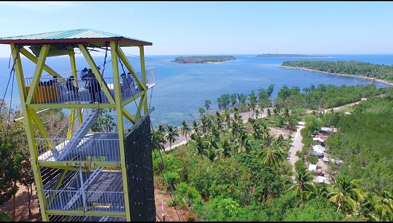
Sablayan Zip line
The longest island to island zip line in the World
- Learn More
Sablayan
Trailblazing the Future


![]()
Our stunning landscapes and friendly locals are closer than you think.
Wake up in a place where something new awaits you every day.


Sablayan is located at the center of the Province of
Occidental Mindoro, Philippines. There are many
different ways to reach Sablayan.

Tuloy po kayo!
We look at tourism from multiple angles. It is not only aimed at travel and the increasing number of tourist arrivals. Every tourism program is inadequate without aspirations for cultural heritage, conserved resources, social equity, economic prosperity, and institutional development. It is as a holistic approach to our vision of “Mas Maunlad na Sablayan”.
Sablayan is proud of itself as the province’s geographical center and is leading toward sustainable development. What we offer to our guests and visitors are life-learning experiences.
The pandemic caused travel restrictions, bringing tourism to a near-complete halt as a sector and industry. But we have to rise from this debacle. We will make it put to life again, like the Phoenix which rose from its ashes.
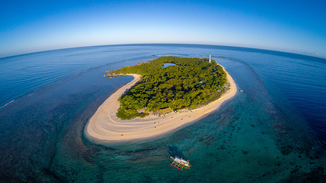
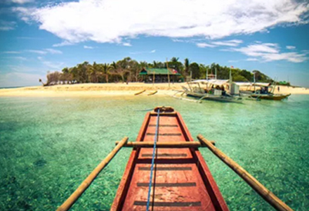
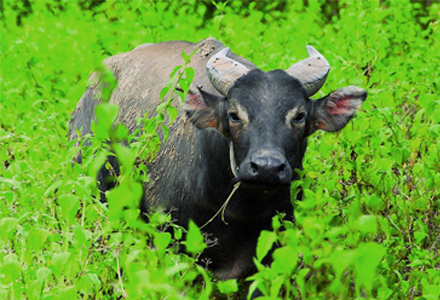
Have a holiday in Sablayan and explore it. Connect with nature and visit our most captivating sites: the Apo Reef Natural Park (ARNP) and Mts. Iglit Baco National Park (MIBNP). ARNP is a popular diving destination. MIBNP is the habitat of the tamaraw, which is endemic to the island of Mindoro.
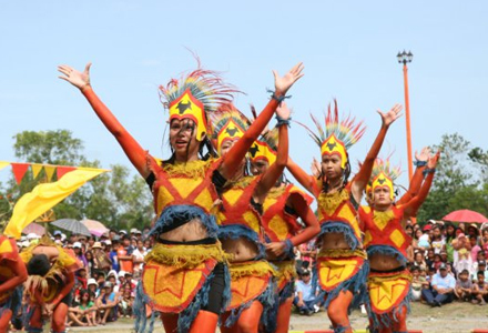
Apart from wildlife, Sablayan also prides itself on having many beautiful sceneries, landscapes, seascapes, and ecosystems connected by a network of rivers and streams. Even in the town proper and in proximate communities near the town proper, we have plenty of destinations and scenic places that everybody could enjoy during travel for business or leisure. This brochure will help you search and find them.
We together will make “Bawat Barangay Matibay.” A condition where the inclusive development of the countryside is promoted, supporting farmers, the Mangyans, women, and other marginalized groups through sustainable programs that uplift and empower.
Experience all of these.
Experience Sablayan.
We assure you that it is BBM here: Bigtime ang Bakasyon Mo!
Walter B. Marquez
Municipal Mayor